Indiana
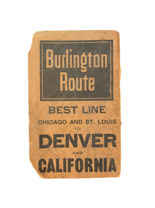
[Chicago]: Rand, Mcnally & Co., 1900. Two color map, 28x21," folding to 6x3.5." Few small marginal tears at folds, some toning else very good. Attached to original Burlington Route folder, lacking front cover. Uncommon Indiana pocket map from the Burlington Route, showing roads, counties, cities, etc., with an emphasis on.....